Canyon de Chelly National Monument
Der Canyon de Chelly liegt im Gebiet der Navajo-Nation im Nordosten des US-Bundesstaates Arizona. Das Parkgebiet umfasst zwei tiefe Felsschluchten, den 42 km langen Canyon de Chelly und den 56 km langen Canyon del Muerto.
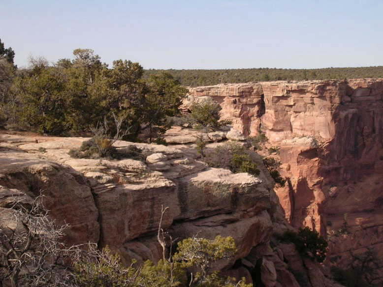
Zwei Straßen führen durch den Canyons, der North Rim Drive am Canyon del Muerto und der South Rim Drive am Canyon de Chelly. Die Aussichtspunkte entlang der Straße bieten Ausblicke in den Canyon und auf einige der Pueblo-Ruinen.
Wanderungen, Fahrten per Geländewagen oder Camping im Canyon sind ausschließlich mit Genehmigung und mit Führung möglich. Nur des White House Trails ist ohne Begleitung möglich.

Was kann man hier alleine erkunden?
North Rim Drive
About 18 miles from the Visitor Center to the last overlook. Allow 2 hours to visit all 3 overlooks to view Canyon del Muerto. Best for morning photos.
South Rim Drive
About 16 miles from the Visitor Center to the last overlook. Pavement ends at Spider Rock Overlook. Allow 2 hours to visit all 7 overlooks to view Canyon de Chelly. Best for afternoon photos.
White House Trail
The trailhead is about 6 miles from the Visitor Center. This moderately strenuous switchback trail descends 600 feet down and is 1 ¼ miles one-way. Take at least 2 liters of drinking water and allow 2 hours to complete the trail. Stay on established trail and do not go beyond the site without an authorized guide.


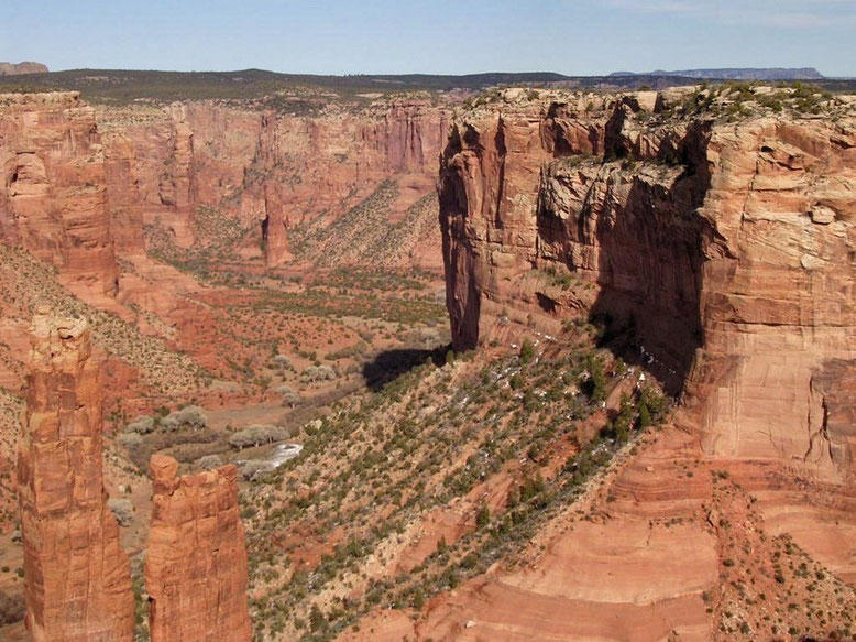
Spider Rock – zwei etwa 240 Meter hohe Felsnadeln sind das Wahrzeichen des Canyon de Chelly.


Reisebericht November 2015 Canyon de Chelly - White House Ruins Trail